Mt. Borah is the highest peak in Idaho
at 12,662'. It is in the Lost River Range in south-eastern Idaho
and this range contains 8 of the 9 12,000' peaks in Idaho.
I climbed it in early August of 1997.
The trail climbs more than a vertical mile (5200' in 3
miles!!! Steep...steep...steep)
The trail starts at about 7400' above sea level and climbs
to 12,662'. There is no water so you have to carry all you'll need
for the day.
The Forest Service has a
good resource page
for info on Mt. Borah.
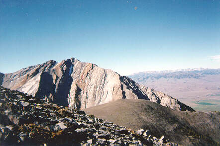
Looking west. The Sawtooths are in the distance.
Also looking west.

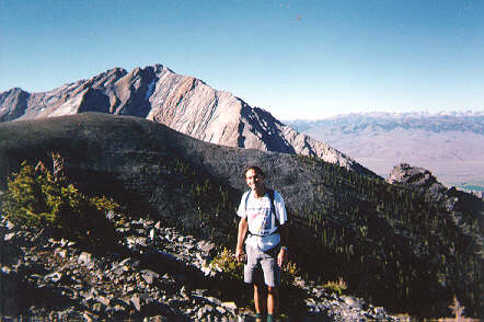
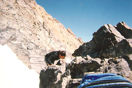
Adrian on some rocks.
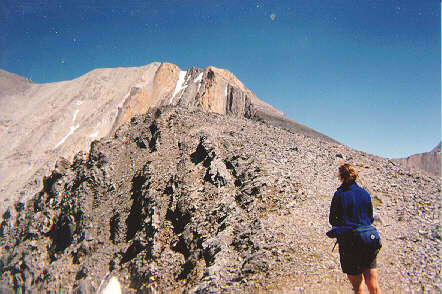
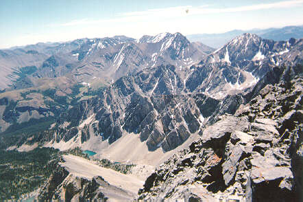
Looking up at "Chicken-Out Ridge". The hike follows
this ridge up and to the left. The summit is to the left of
the picture. The saddle in the upper-left was where I was stopped
in a previous attempt in 1993 by a lightning storm. We had to hole
up in the saddle and during a break in the storm we tried to get down but
were caught on this ridge when another wave of lightning passed through.
The rocks were crackling and I could feel little sparks of electricity
between my wool hat and my hair. The weather was great for this trip
though.
Note the snow bridge in the upper center of the picture
and how steep it is. We have to cross that to get to the summit.
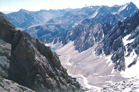
This is taken from the saddle in the previous picture
looking over into the next valley.

Some lunch at the saddle before the summit assault.

At the summit!!! It took 3 hours and 45 minutes
to get to the top.
Looking north.
Coming back over the snow bridge.
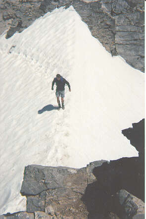
Crossing the snow bridge. It doesn't look steep
here but if you fell a self-arrest would be extremely difficult.